How Drones are Transforming Surveying and Mapping
27 June 2025
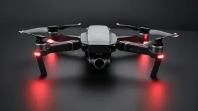
Technology is changing the way we see the world—literally! Drones, those buzzing, futuristic flying machines, aren't just for hobbyists or filmmakers anymore. They’re revolutionizing industries left and right, and one sector that’s benefiting massively is surveying and mapping. Gone are the days of slow, painstaking land surveys with bulky equipment and long hours on-site.
Drones have swooped in, providing faster, more accurate, and cost-effective solutions for surveyors, engineers, and cartographers. But how do they work their magic? Let’s break it down and see why drones are the future of mapping and surveying. 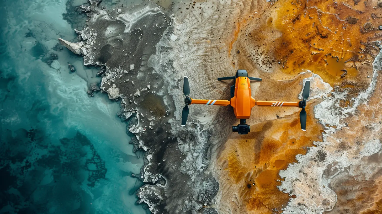
1. Why Traditional Surveying Needed an Upgrade
Surveying has been around for centuries, dating back to ancient Egypt when land boundaries were marked using simple tools. Fast forward to modern times, and traditional surveying still involves tripods, total stations, GPS receivers, and a lot of manual labor. While these methods are precise, they’re also time-consuming, expensive, and often dangerous when surveying difficult terrain.Enter drones.
Drones eliminate many of the challenges that traditional surveying poses. They can reach places that would otherwise take hours or even days to access, all while capturing high-resolution aerial data in real-time. This means better efficiency, improved safety, and increased accuracy. 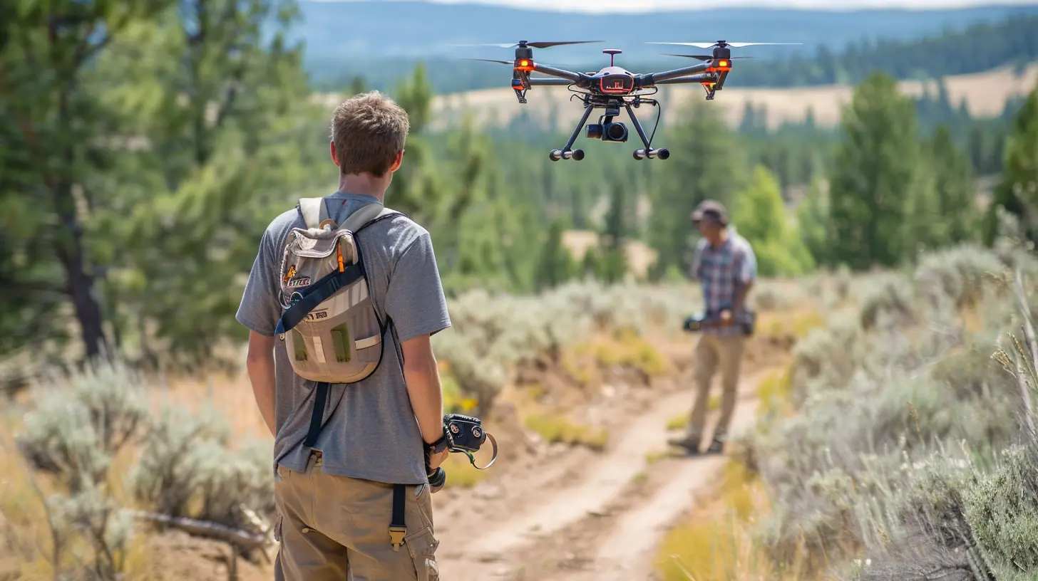
2. How Drones Are Changing the Game
So, what exactly makes drones the ultimate game-changer for surveying and mapping? Here are the key benefits that make them stand out.✅ Faster Data Collection
Traditional surveying methods can take days or weeks, especially for large areas. With a drone, what once took days can now be completed in a few hours.Drones fly over the site, capturing high-resolution images and precise geospatial data within minutes. This means projects move forward faster, saving both time and money.
📏 Increased Accuracy
Surveying is all about precision, and drones offer just that. They use advanced technologies like LiDAR (Light Detection and Ranging), RTK (Real-Time Kinematic GPS), and photogrammetry to achieve accuracy within centimeters.With high-definition cameras and GPS capabilities, drones create detailed 3D models, topographic maps, and elevation data that beat traditional methods in both speed and precision.
💰 Cost-Effectiveness
Hiring a full surveying team with specialized equipment isn't cheap. Traditional surveying requires more manpower, vehicles, equipment, and field time, which quickly adds up.Drones slash costs by minimizing labor and equipment needs. A single drone operator can cover vast areas, reducing operational expenses significantly. Plus, fewer site visits mean fewer travel expenses.
🛡️ Improved Safety
Surveying often involves working in hazardous environments—steep cliffs, unstable terrain, or active construction sites. Instead of sending people into risky areas, drones gather the necessary data remotely.With drones handling the legwork, surveyors stay safe while still getting access to high-quality data. That’s a win-win for efficiency and safety! 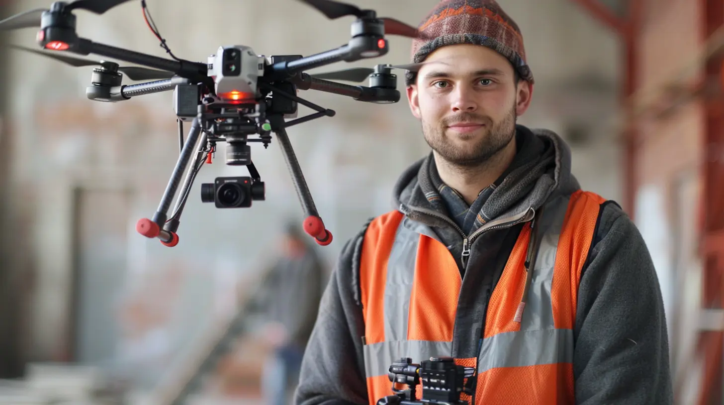
3. The Technologies Powering Drone Surveys
Drones wouldn’t be as useful without the advanced technologies that power them. Let’s take a look at the science behind these flying marvels.🛰️ GPS & RTK for Precision
Drones use GPS (Global Positioning System) and RTK (Real-Time Kinematic positioning) to pinpoint exact locations. RTK enhances GPS accuracy, making it one of the most reliable methods for mapping and surveying.🏔️ Photogrammetry: Turning Photos into 3D Models
Photogrammetry is the process of stitching together thousands of overlapping images to create 3D models or orthomosaic maps (high-resolution, distortion-free aerial images).This technique helps surveyors generate accurate topographic maps, elevation models, and contour lines, all from drone-captured photos.
📡 LiDAR: Laser Precision Mapping
LiDAR (Light Detection and Ranging) is a game-changer in surveying. It uses laser pulses to measure distances and create highly detailed 3D elevation maps, even through thick vegetation or difficult terrains.Unlike traditional cameras, LiDAR penetrates obstacles like tree canopies, making it ideal for forestry, archaeology, and large-scale infrastructure projects. 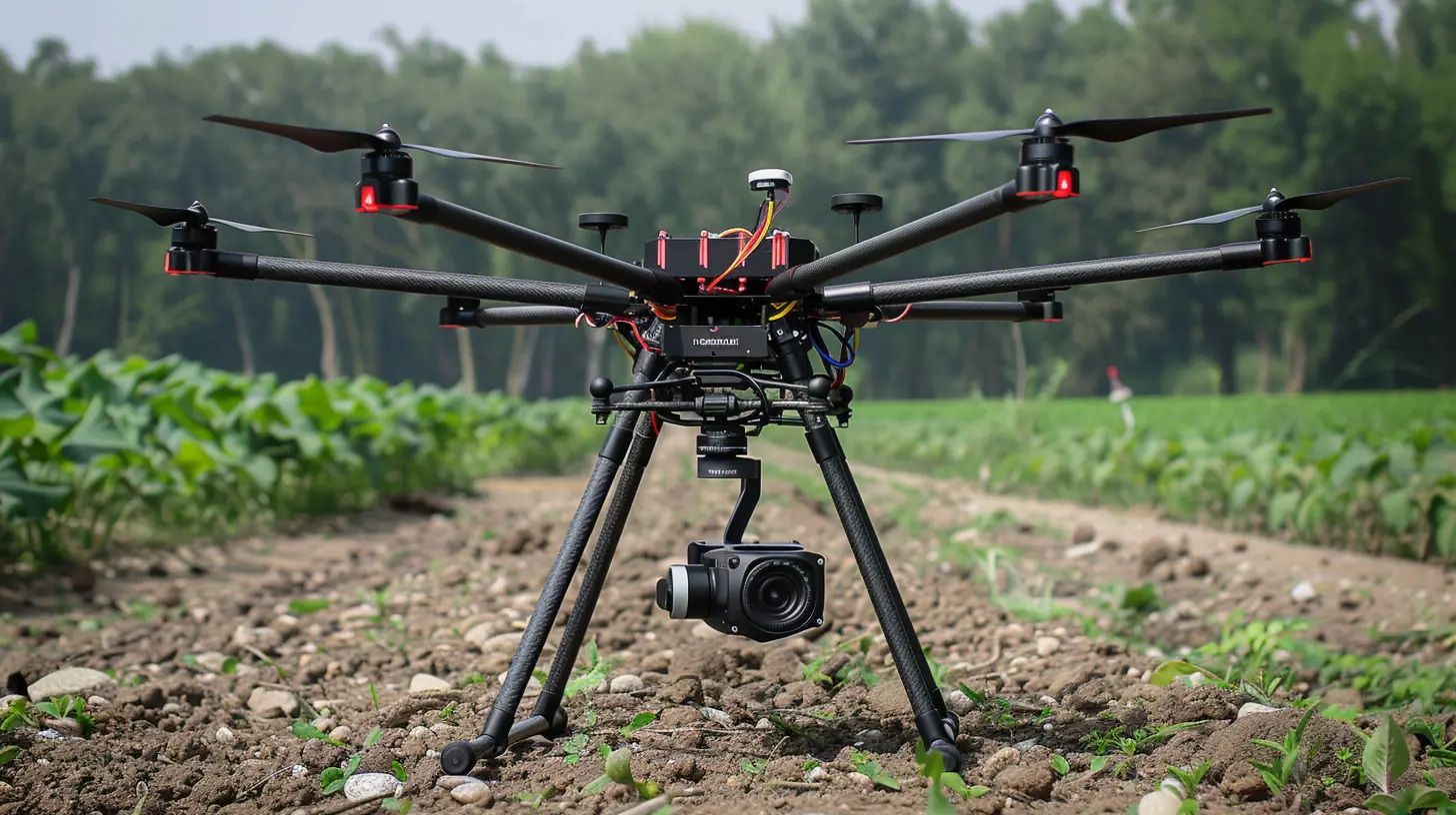
4. Industries Benefiting from Drone Surveying
Drone-powered surveying isn’t just limited to construction and land development—it’s transforming multiple industries.🏗️ Construction and Infrastructure
- Site planning and progress tracking- Stockpile measurements for materials
- Risk assessment and structural monitoring
🌲 Agriculture and Forestry
- Crop health monitoring with multispectral imaging- Forest mapping for conservation and management
- Soil analysis and irrigation planning
🚜 Mining and Quarrying
- Mine site planning and volumetric calculations- Safety inspections without putting workers at risk
- Environmental impact assessments
🏛️ Archaeology and Heritage Preservation
- Mapping ancient ruins and heritage sites- Creating digital reconstructions for preservation
- Identifying underground structures using LiDAR
🌪️ Disaster Management and Emergency Response
- Assessing damage after earthquakes, floods, and wildfires- Creating evacuation maps and identifying hazardous areas
- Supporting search-and-rescue operations
5. Challenges and Limitations of Drone Surveying
Of course, it’s not all smooth flying. While drones have revolutionized surveying, they still face some challenges.🏛️ Legal and Regulatory Hurdles
Many countries require drone pilots to obtain certifications, and flying drones in restricted areas (like near airports) can be tricky. Surveyors need to follow aviation regulations to stay compliant.🌦️ Weather Dependency
Drones aren’t big fans of strong winds, heavy rain, or extreme temperatures. Poor weather conditions can affect flight stability, battery life, and data accuracy.🔋 Battery Life Constraints
Most drones have limited flight time—typically between 20 to 40 minutes per battery. For large-scale surveys, operators must plan their missions carefully or carry multiple battery packs.🖥️ Data Processing Demands
Collecting data is one thing; processing it is another. High-resolution LiDAR scans and photogrammetry models require powerful software and heavy computing resources, which can be time-consuming.6. The Future of Drone Surveying
Despite these challenges, the future of drone surveying looks incredibly bright. Advancements in AI, automation, and drone swarming technology are making aerial mapping even more efficient.Here’s what’s on the horizon:
- AI-powered drones that analyze data in real-time
- Autonomous drone fleets for large-scale mapping
- Longer battery life with solar-powered UAVs
- Better obstacle avoidance systems for safer flights
As technology keeps advancing, drones will become even smarter, faster, and more powerful, cementing their role in the surveying world.
7. Conclusion
Drones have completely transformed the surveying and mapping industry, making processes faster, safer, and more cost-effective. With high-tech tools like LiDAR, GPS, and photogrammetry, they provide unparalleled accuracy and efficiency.While challenges like regulations and weather dependency remain, ongoing technological advancements promise an even brighter future. Whether it's construction, agriculture, mining, or disaster response, drones are proving to be an indispensable tool for modern surveying.
So, the next time you see a drone buzzing overhead, it might not just be capturing cool aerial shots—it could be mapping out the future!
all images in this post were generated using AI tools
Category:
DronesAuthor:

Vincent Hubbard
Discussion
rate this article
2 comments
Ian McAdams
Oh great, now drones are taking over surveying too! Just what we needed—less human interaction and more flying robots judging our land. Can't wait for my GPS to get jealous!
November 13, 2025 at 5:05 AM
Vincent Hubbard
I understand your concerns! While drones enhance efficiency and accuracy in surveying, they actually complement human expertise, allowing us to focus on analysis and decision-making.
Yolanda Monroe
Great insights! It's amazing to see how drones are revolutionizing surveying and mapping. Their efficiency and precision truly have the potential to reshape the industry.
July 10, 2025 at 3:57 AM
Vincent Hubbard
Thank you! I’m glad you found the insights valuable. Drones are indeed changing the landscape of surveying and mapping in remarkable ways!