Drone Mapping: How Aerial Surveys are Changing Industries
16 May 2026
If you've ever seen a drone buzzing overhead and wondered what it's doing way up there—it might just be changing the way we see the world. Literally.
Welcome to the exciting world of drone mapping, a tech trend that’s quietly (okay, sometimes not-so-quietly) transforming industries like construction, agriculture, mining, real estate, and even emergency response. It's no exaggeration to say that drone mapping has soared from a niche use case to an industry game-changer.
So grab your virtual flight helmet, and let’s dive into how this cutting-edge technology is reshaping industries and why it might just be the smartest business move on your horizon.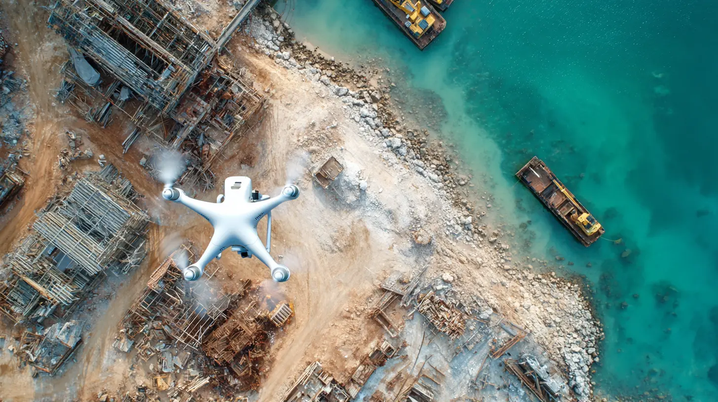
What Exactly Is Drone Mapping?
Let’s keep it simple. Drone mapping (also called aerial surveying or drone photogrammetry) is when a drone flies over a location and takes high-resolution images or uses LiDAR to collect data. These images and data points are then stitched together using software to create maps, 3D models, terrain data, or even thermal maps.It's like having Google Earth, but way more detailed and updated to the minute.
How It Works (Without the Tech Overwhelm)
You don’t need to be a rocket scientist to understand how drone mapping works. Here’s the basic idea:1. Plan the Flight – A pilot (or autonomous software) sets the drone's flight path.
2. Capture Data – The drone flies over the area and captures hundreds (sometimes thousands) of overlapping images or sensor data.
3. Process the Data – Specialized software like Pix4D or DroneDeploy turns the raw images into 2D or 3D maps.
4. Analyze and Use – These maps give engineers, farmers, or inspectors detailed insights they can act on, fast.
That’s it. Map made. Time saved. Game changed.
Industries Totally Disrupted by Drone Mapping Technology
Let’s get into the juicy stuff. Which industries are cashing in on this flying revolution?1. Construction: Building with Eyes in the Sky
Construction has embraced drones like peanut butter embraces jelly. Why? Because having an "eye in the sky" cuts down on expensive surprises.- Progress Monitoring – Imagine being able to track your job site’s progress every single day without even stepping foot in mud. Yup, with drone mapping, project managers get accurate visuals and metrics of what's been built and what’s left.
- Site Surveying – Traditional surveys can take days or even weeks. Drones do it in a few hours—faster, cheaper, and more accurate.
- Safety Checks – Drones can spot hazards like unstable soil or structural issues early, before anyone gets hurt.
It’s like giving your construction crew a crystal ball.
2. Agriculture: Farming Smarter, Not Harder
You might not think of drones when you picture farming, but think again. Agriculture is going high-tech, and drones are leading the charge.- Crop Health Monitoring – With multispectral imaging, drones can actually “see” which crops are stressed, diseased, or thirsty—way before it's visible to the naked eye.
- Precision Farming – Instead of watering or spraying an entire field, farmers can target just the areas that need attention. That means less waste, more yield.
- Field Mapping – Drones can map irrigation patterns, spot insect infestations, and help with planting plans.
Think of it as your farm’s very own aerial doctor.
3. Mining & Aggregates: Digging Up Data
Mining isn’t exactly the safest or easiest environment to work in. That’s where drones come in with their rugged sensors and total fearlessness.- Volume Calculations – Need to know how much material you’ve moved or what’s left? Drones calculate stockpile volumes to the last bucket.
- Safety Inspections – Nobody wants to walk into an unstable mine pit. Drones take that risk instead, mapping terrain and spotting hazards.
- Blast Planning & Monitoring – Accurate terrain models help plan blasting areas with surgical precision. That saves money and keeps everyone safer.
Let’s just say if drones wore hard hats, they’d be the MVPs of the mine.
4. Real Estate & Urban Planning: Selling Views from the Sky
It’s tough to sell someone on a property when all they can see is dirt and scaffolding. Drone mapping changes that by showing a bird’s-eye view—literally.- Land Development – Before the first shovel hits the ground, urban planners use drones to map out site elevations, drainage paths, and environmental risks.
- Marketing Magic – Ever see those jaw-dropping aerial videos of luxury homes or new developments? That’s drone footage at work. People don’t just buy homes; they buy vision. Drones deliver that vision.
- 3D Models for Architects – Architects get real-world data to base designs on—no more guesswork or old blueprints.
Maps, models, and magic—all made with drones.
5. Emergency Response & Disaster Relief: Saving Lives from the Sky
When disaster strikes, time and visibility are everything. Drones make a huge difference here.- Damage Assessment – After floods or earthquakes, drones fly in fast to survey wreckage and pinpoint where help is needed most.
- Search and Rescue – In hard-to-reach places (like forests or collapsed buildings), thermal drones can even detect body heat.
- Wildfire Mapping – Firefighters use drones to track the direction and speed of wildfires in real time.
Drones aren’t just tools—they’re heroes with propellers.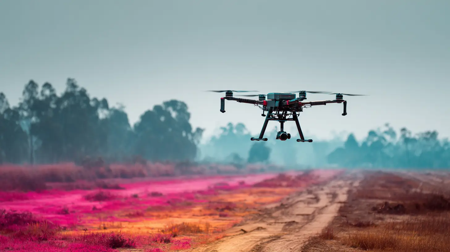
The Key Benefits of Drone Mapping
Alright, so we’ve seen the "where." Now let’s talk about the "why." Why are so many companies ditching traditional surveys and investing in drone mapping?✅ Speed
A survey that once took days now takes hours. Time is money. Especially when deadlines are tight.✅ Accuracy
High-res imagery + GPS + smart software = centimeter-level precision. It's not just good. It's almost scary-good.✅ Cost-Efficiency
No need for helicopters, pricey manned surveys, or renting specialty equipment. A single drone and a skilled pilot can often do the work of five people in half the time.✅ Safety
From dangerous terrain to toxic environments, drones handle risky work while people stay out of harm's way.✅ Data Like Never Before
We’re talking 2D, 3D, thermal, LiDAR—all layered together for insights that weren’t even possible a decade ago.Software That Brings it All Together
It’s not just about drones—it’s about what you do with the data. That’s where mapping software steps in.- DroneDeploy
- Pix4D
- Propeller Aero
- DJI Terra
- Agisoft Metashape
These tools turn raw data into maps, reports, 3D models, and even time-lapse construction visuals. Imagine watching your building rise in 3D over time. Pretty slick, right?
Challenges? Sure. But Nothing We Can’t Handle
Let’s be real—no tech is rainbows and unicorns 24/7. Drone mapping has its hurdles.- Regulations – You can't just fly a drone anywhere. You need licenses and have to follow FAA (or local) laws.
- Weather Dependence – Rain and drones? Not a great mix.
- Data Overload – Tons of data is great, but only if you know how to use it.
- Upfront Cost – Quality drones and software aren’t cheap. But the long-term savings are totally worth it.
Good news? Training, automation, and better software are making these challenges easier every day.
The Future of Drone Mapping is Bright (And Flying High)
So, where are we headed?We’re talking about real-time 3D visualizations, AI-integrated drone mapping systems, fully automated flight plans, and maybe even swarms of drones working together like techie bees.
As 5G spreads and cloud computing grows, drone mapping will only get faster, smarter, and more powerful.
Soon enough, drones might become as integral to business as email or spreadsheets.
Should Your Business Consider Drone Mapping?
Short answer? Heck yes—if you rely on any kind of surveying, modeling, inspection, or data collection.Think about it:
- Want better decision-making?
- Need accurate, real-time visuals of your site?
- Want to save money and prevent errors?
- Care about safety and compliance?
Drone mapping checks all those boxes and then some. Whether you’re managing a farm, building a high-rise, or overseeing emergency services, this tech is flying in to give you a much-needed edge.
Wrapping It Up: Drone Mapping is No Gimmick
In a world that moves fast and expects precision, drone mapping offers both—plus a side of innovation. From farms to skyscrapers and disaster zones to property listings, drones are doing more than just flying around. They're capturing the world in pixels, solving problems, and saving lives.So maybe next time you hear a gentle whirr overhead, you’ll look up and smile—because the future really is looking down on us... in the best way possible.
all images in this post were generated using AI tools
Category:
DronesAuthor:

Vincent Hubbard
Discussion
rate this article
2 comments
Mika Hill
Drone mapping is a game changer. It's fascinating how aerial surveys are revolutionizing industries, making data collection faster and smarter.
June 8, 2026 at 4:36 AM
Vincent Hubbard
Absolutely! The efficiency and precision of drone mapping are transforming how we gather and analyze data across various sectors. It's an exciting development.
Raegan Howard
Who knew drones could be the superheroes of mapping? Zooming over fields and factories like tiny flying wizards, they're making the world a whole lot clearer and the data a lot cooler.
May 24, 2026 at 7:50 PM
Vincent Hubbard
Absolutely! Drones are transforming how we see our world, providing valuable insights and making mapping more efficient than ever.